No countries match. Try a country name, capital or another region.
Population sorting uses the latest available observation for each country, with its year shown. Land and elevation use the dated geography snapshot. Missing values appear last.
THE COMPARISON STUDIO
Change the country. Change your perspective.
Compare up to three countries. Values and dates travel together; a larger economy is not the same thing as greater individual prosperity.
Latest available years may differ. These are descriptive comparisons, not a fixed-year league table. GDP is measured in current US dollars, not purchasing-power parity; GDP per capita is not a measure of household wealth.
READ THE WORLD CAREFULLY
Beautifully clear. Precisely qualified.
195 is a defined scope.
This atlas covers the 193 UN member states plus the Holy See and the State of Palestine. It does not claim that every territory, recognition dispute or geographical identity fits neatly into this list.
World Bank indicators use the latest available observations from 2020–2025, retrieved on 14 November 2026. Geographic descriptions use an archived World Factbook snapshot captured on 22 January 2026, with identified corrections and scope notes.
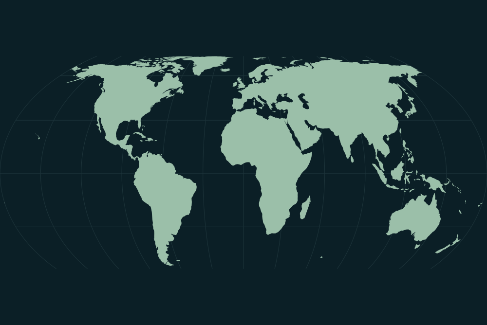
Natural Earth outlines are simplified and use de facto boundary conventions. Smaller states use a finer source scale. Individual country outlines are enlarged to fit, not drawn at a common scale. UN regional groupings are for statistical convenience.
Highest and lowest points describe the cited source’s geographic extent and surface elevations. They do not measure the depth of mines. River lengths may cover an entire international system rather than the section inside a country.
Each country includes its own source links and geographic scope notes. A blank source field means that the selected dataset does not report the value—not that the real-world quantity is zero.
Flags are sourced from the openly licensed flag-icons collection; the date and representation notes are included with the data. Flags are symbols, not endorsements of governments or territorial claims.
The atlas data could not load. Please refresh the page.